08/07/2026
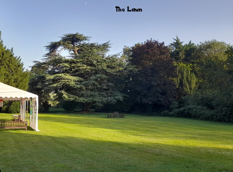
A great afternoon at The Lawn and the Village Picnic. Good to have it back after missing out last year. Thanks must go to Steve Swift and the team at The Lawn for hosting it. Next year we’ll have bigger and better plans. A big thanks too to Megan Beth Millar of the HVA committee and her willing helpers for driving it on and organising the whole thing. It was great to be able to see round the Lawn gardens and realise what a beautiful space we have in the village. Dog of course were welcomed this year and as a treat Dexter’s cake stand had some yummy home made cakes and muffins; just the thing to go with T&Gs coffees.

Problems getting on to the EHDC planning Portal?
Click HERE for a guide
Jalsa Salana UK is taking place on 24-25-26 July in Worldham.
Although traffic is expected, the Jalsa Salana team will try its best to minimise disruptions as much as possible.


Website contact:
Andy Muir
Andy Muir secretary@holybourne.com
Welcome to Holybourne Village Association and the website Holybourne.com